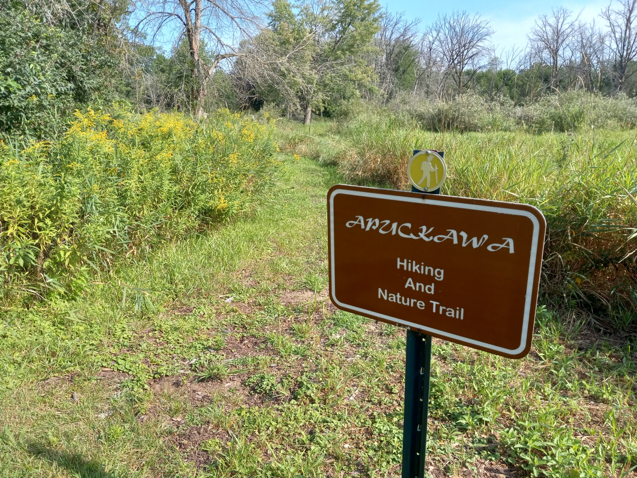
Apuckawa Birding & Nature Trail
From the stop light in Montello, go east on Hwy. 23 .6 of a mile, turn right on Hwy. C, go 6 miles to 4-way stop. Continue straight on Fox Ct. Turn right on Toepper Dr. to parking area.
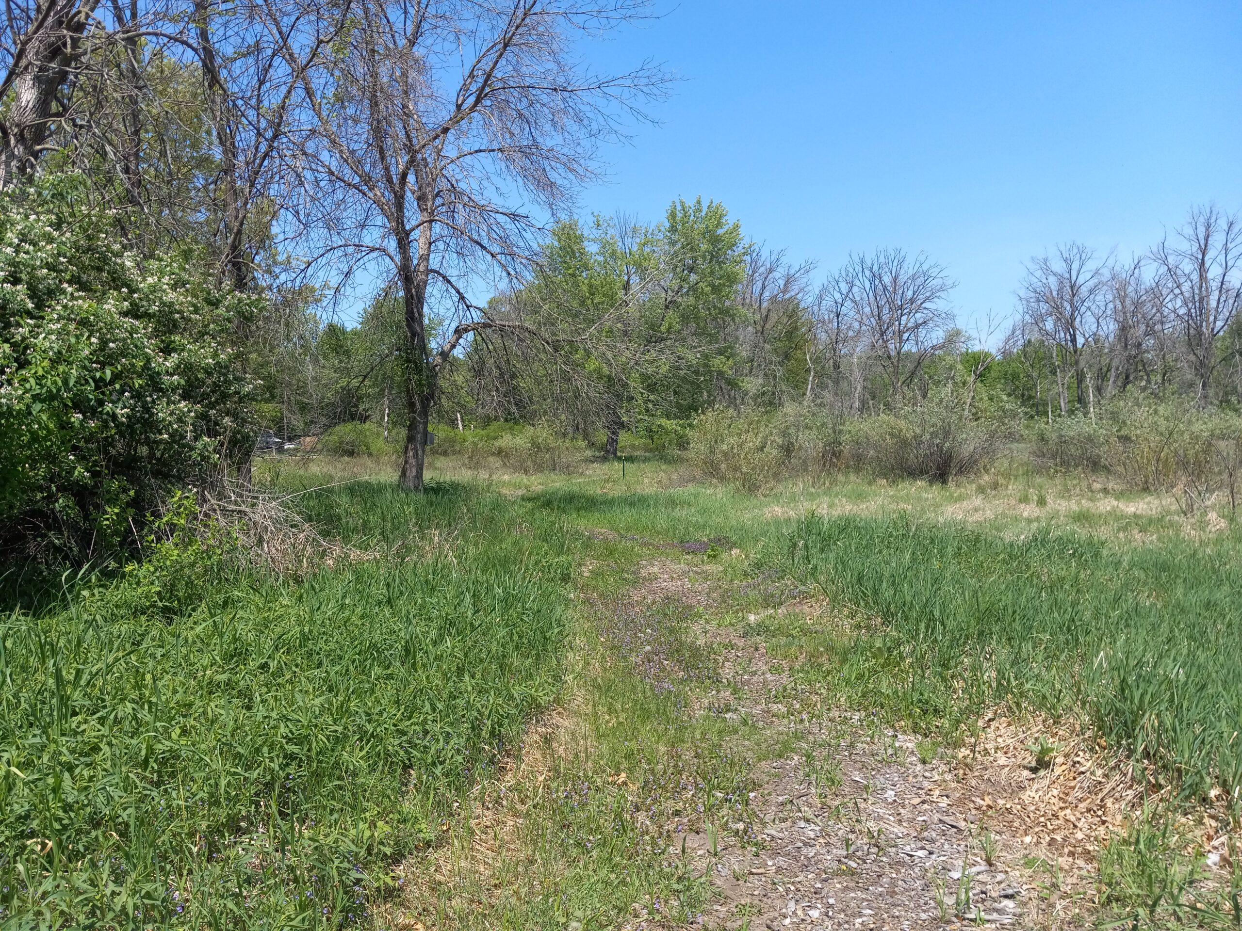
On this .8 of a mile trail starting from the boat landing parking lot on the northeast corner through a hardwood forest and remnant prairie, you may be lucky to catch a glimpse of a white squirrel. In past bird surveys, birders recorded over 100 species of birds, including those seen from the boat landing on Lake Puckaway. Click here for the history of Apuckawa. Click here to see a detailed brochure on the trial.
Grand River Locks
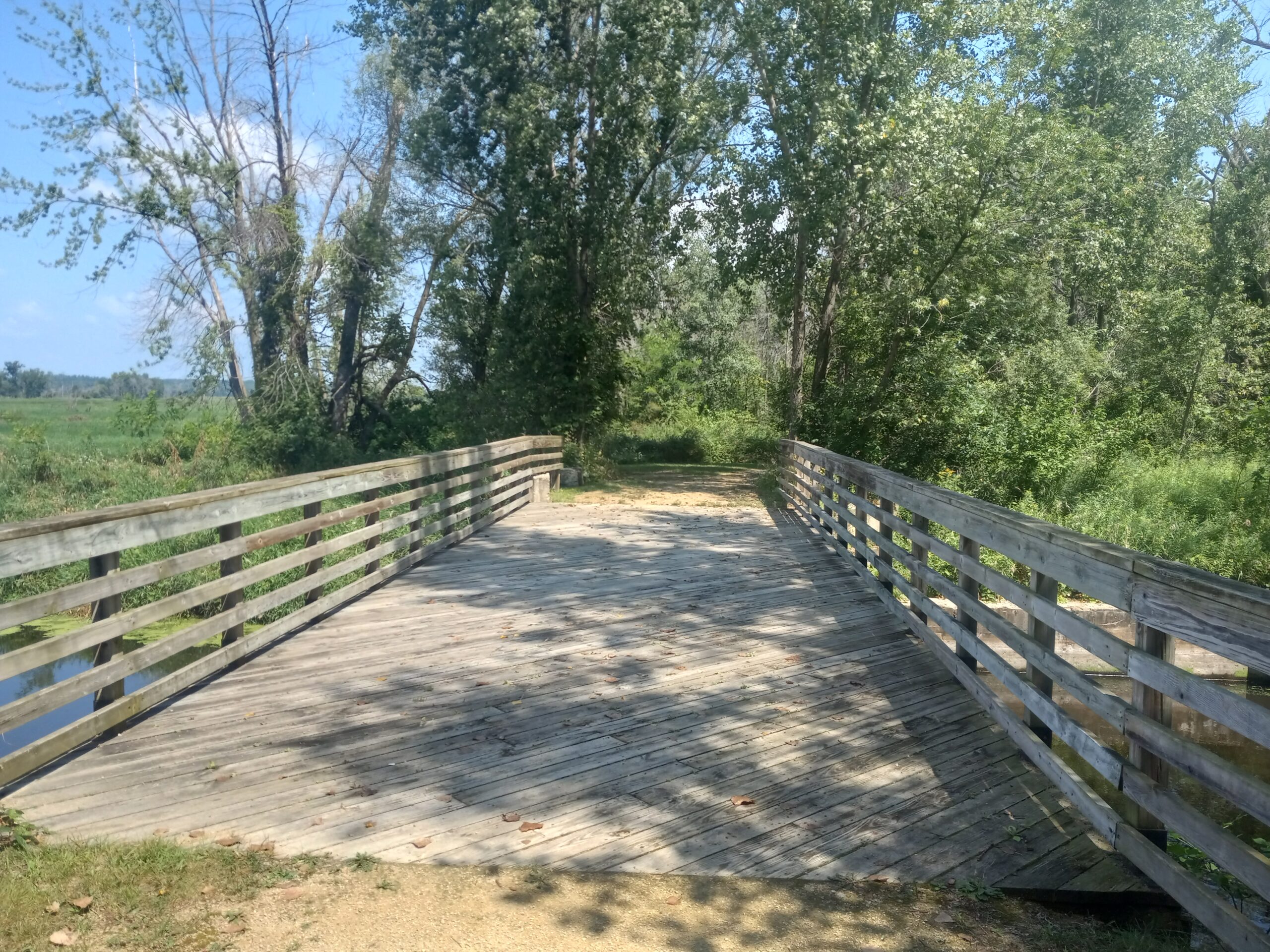
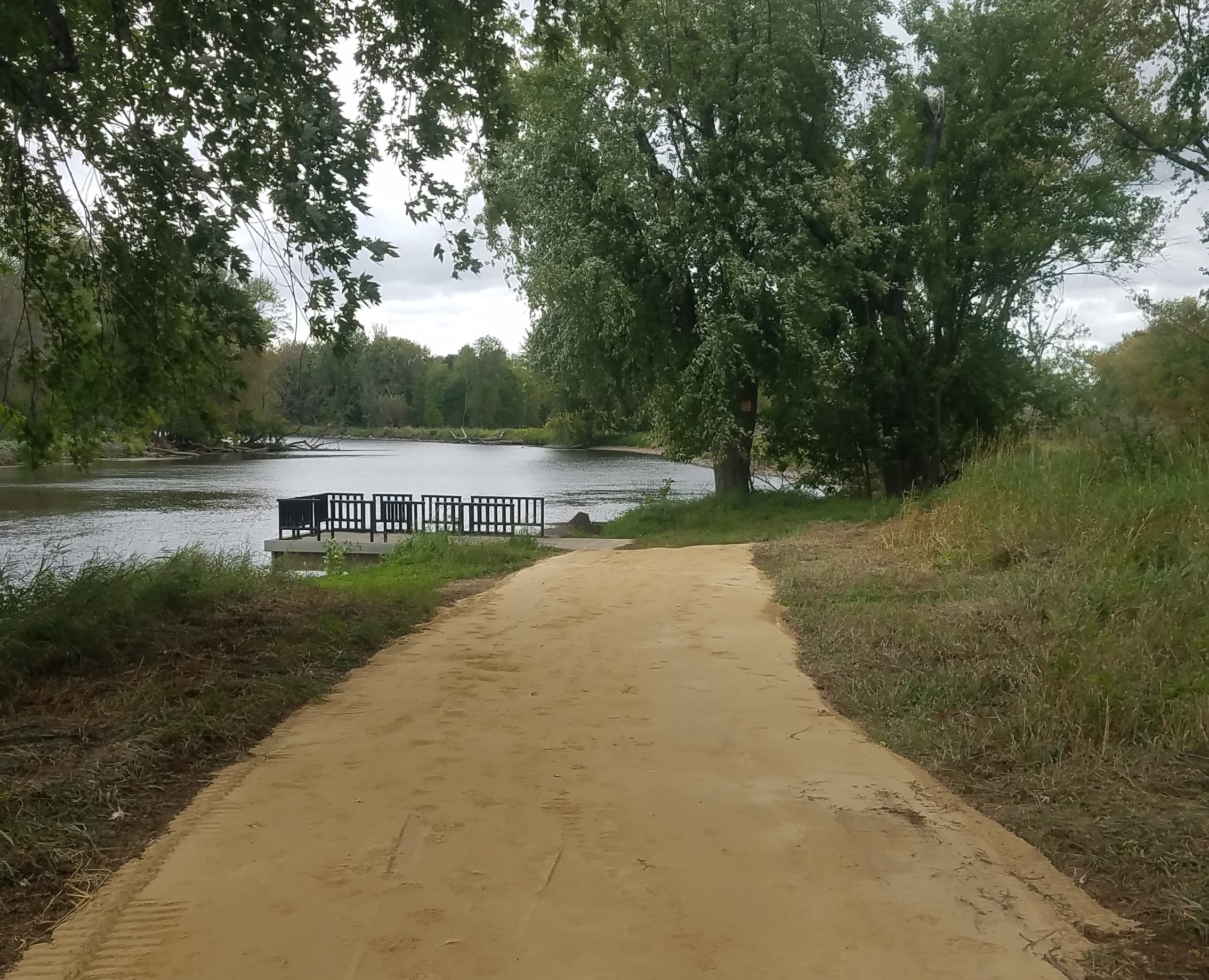
The trail is located at the end of Lower Locks Rd., 3.2 miles south of Montello off of Hwy.22.
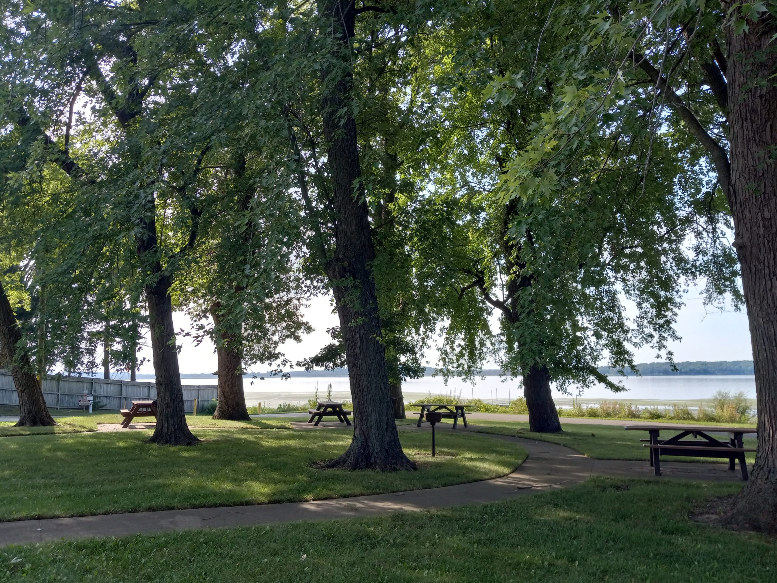
Bordering the Fox River, this site has a handicap accessible fishing pier and trail. It’s a great area for bird watching and easy walking. Click here for the history of the Grand River Locks.
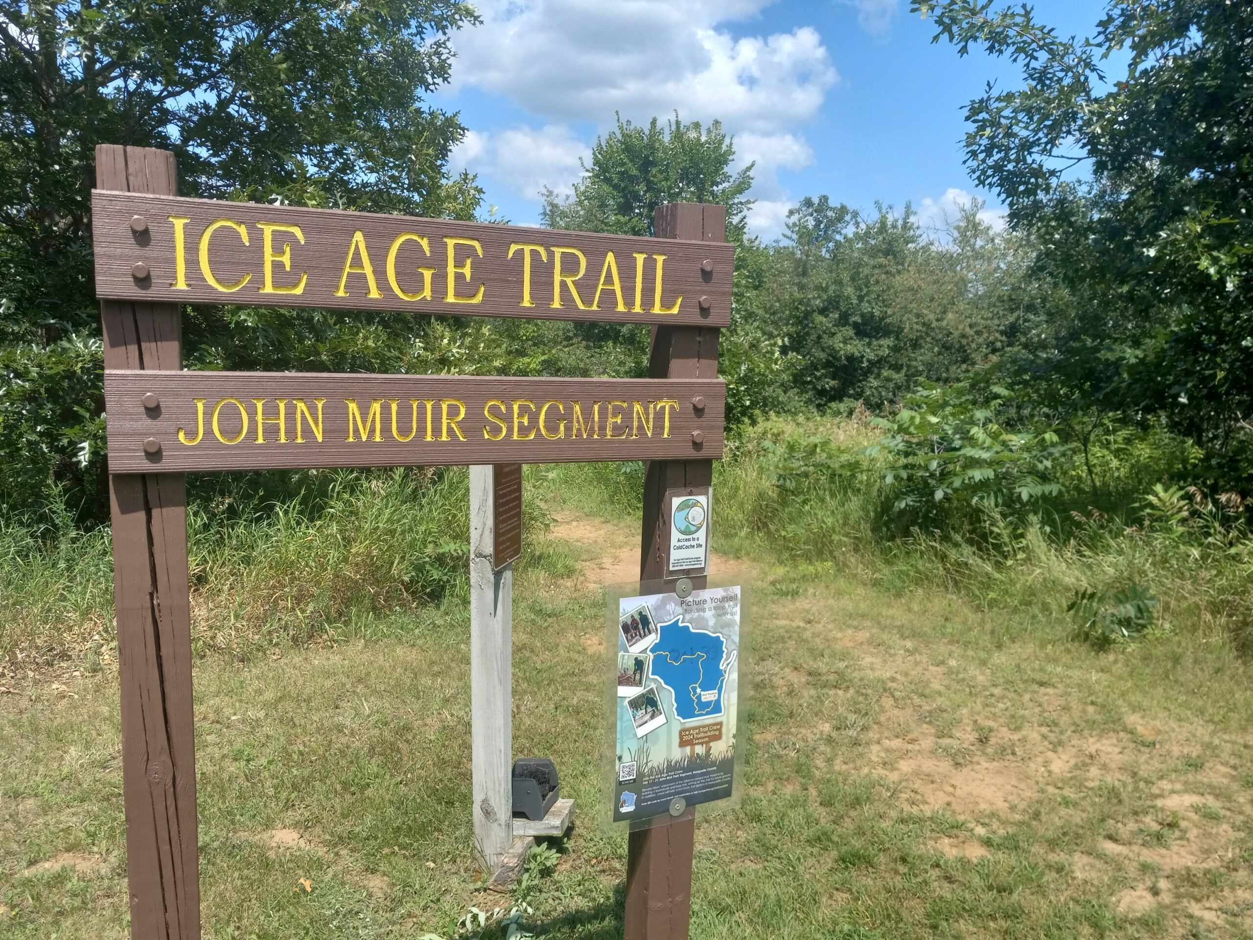
John Muir Preserve
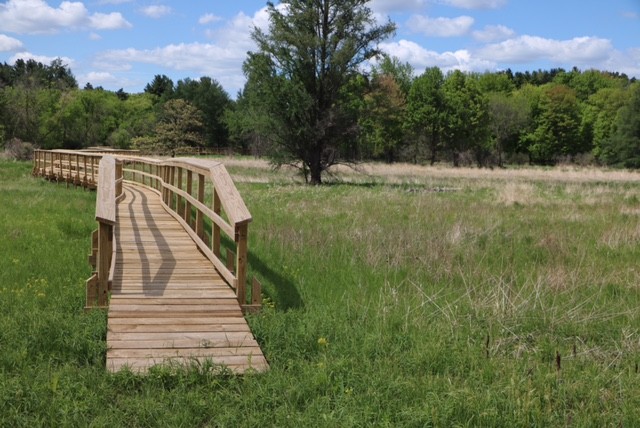
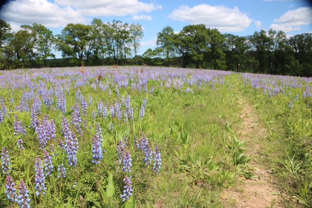
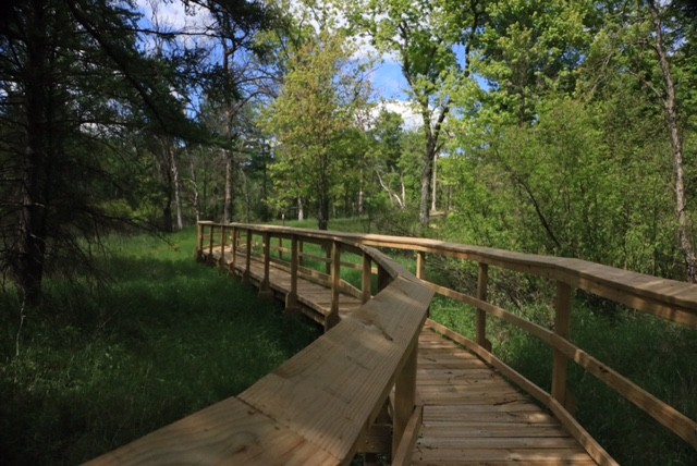
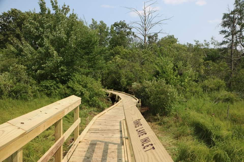
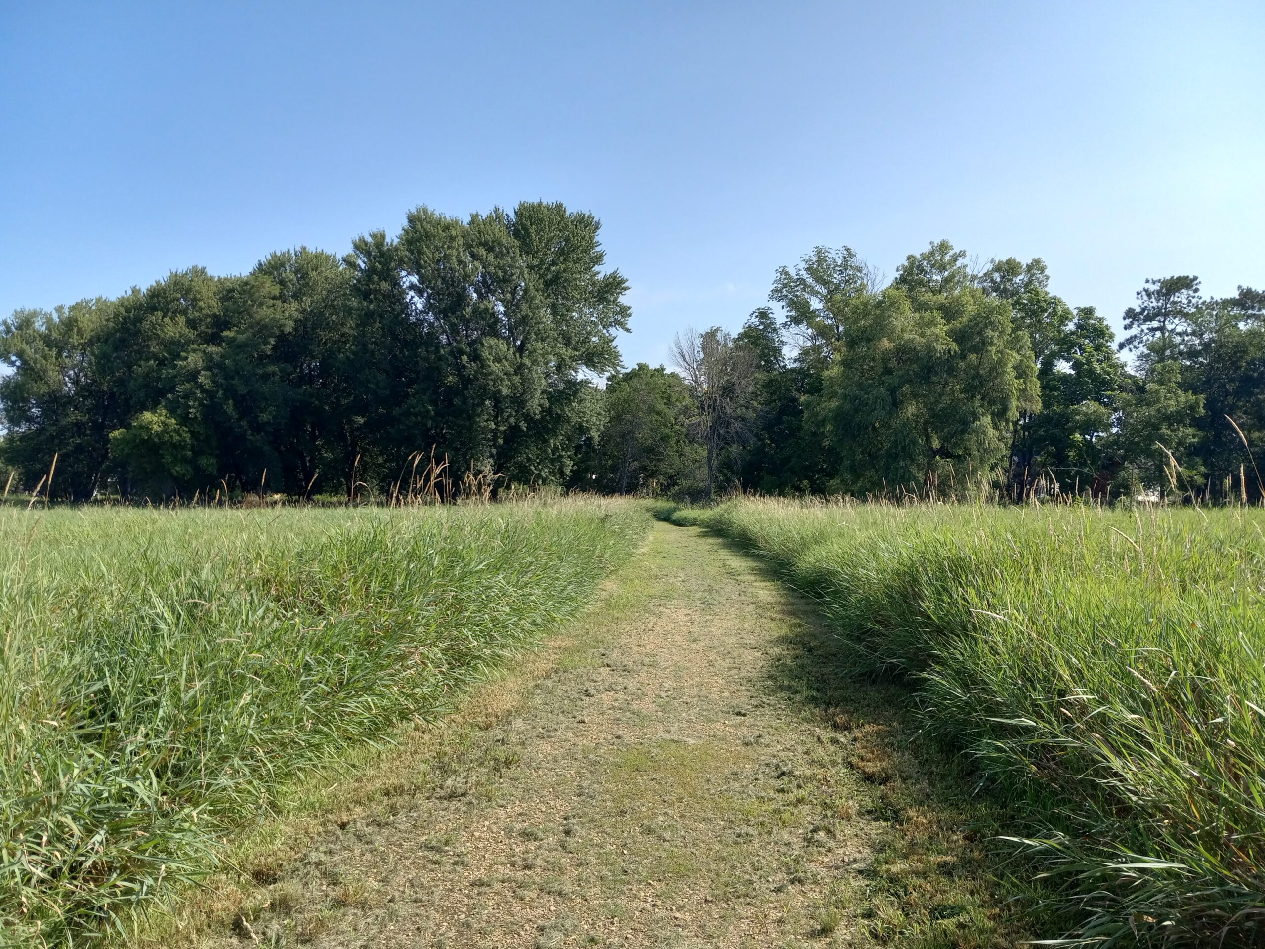
Explore one of the newest Ice Age Trail Alliance’s properties, the Muir Preserve. Stroll along the 800 ft. boardwalk and enjoy the views over the sage meadow while keeping an eye out for your favorite birds and wild flowers. There is also a loop trail going through the woods. The trail in and back is about 1.5 miles.
Location W4312 CO RD O Montello, WI 53949 Located .8 of a mile east of the intersection of CO RD O & F (Fox River Road). 43°40’18.4″N 89°22’33.9″W
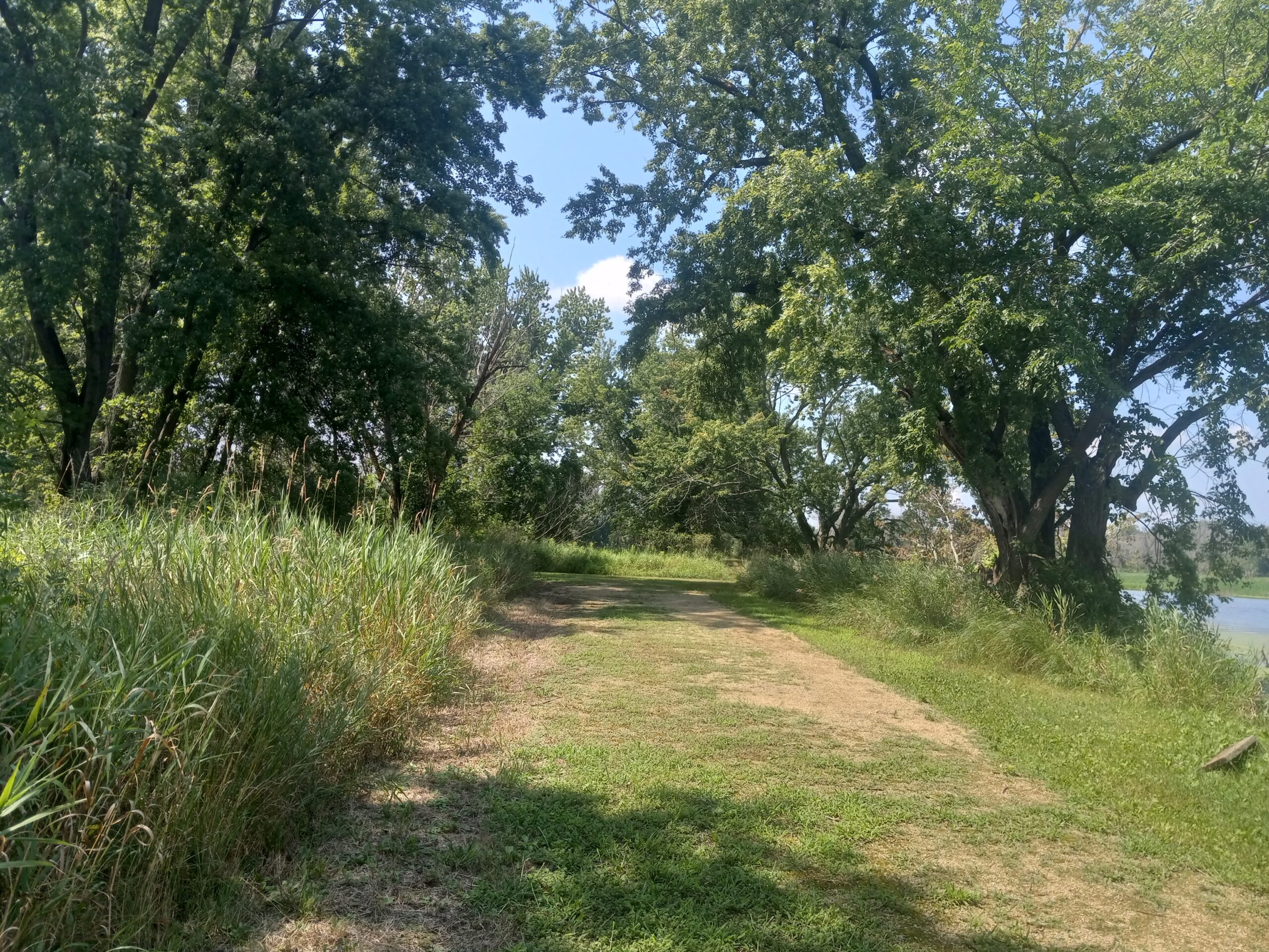
John Muir County Park
The county park is located 8 miles south of Montello at N1595 County Rd. F
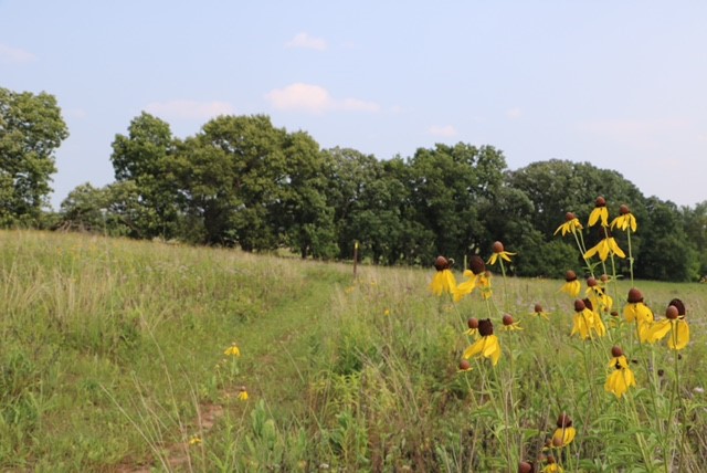
John Muir County Park, once known as Fountain Lake Farm, is where the Muir Family built their first home after immigrating to Marquette County from Dunbar, Scotland. A young John Muir, who would later become known as the Father of National Parks, was greatly influenced by this land and tried to purchase it several times throughout his life to preserve it. Visitors may explore the 125 acre park by hiking the trail that circles 30 acre Ennis Lake and passes through 7 different habitats. You can find the wonderful wilderness that he came to love by sauntering the public lands and trails of his boyhood home. Click here for the history of John Muir.
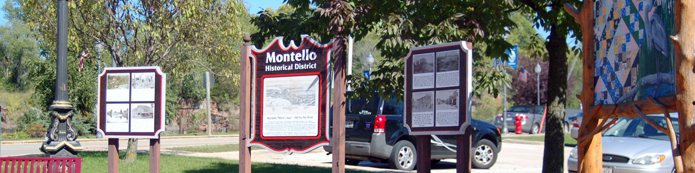
Marquette Park on the Mont L’eau
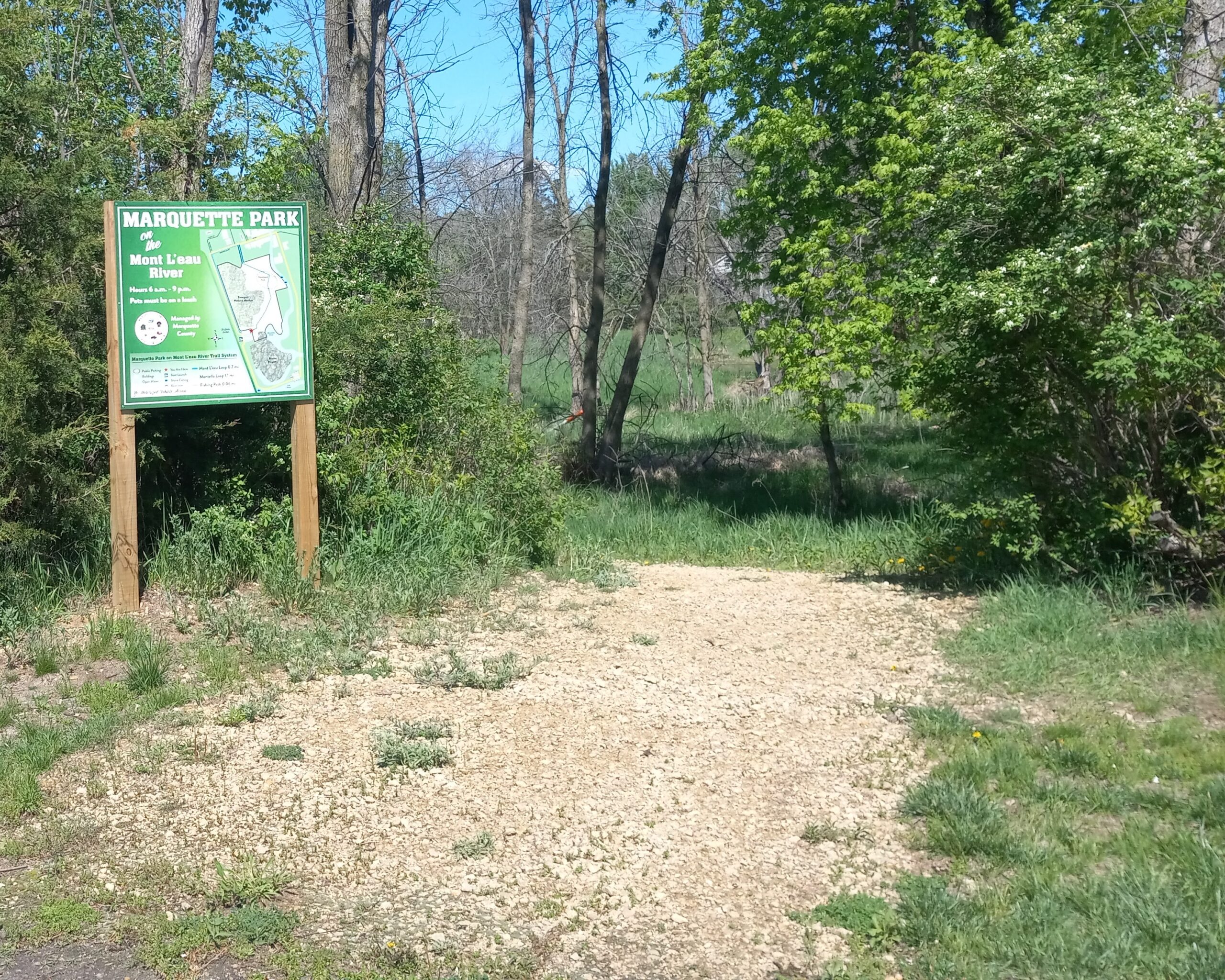

A popular place to walk in Montello is Sunset Dr. (locally referred to “The Dredge Bank”), between this road and Hwy. 22 is a park with a trail that leads to the Montello River. One end of the trail starts downtown. You can park in the city hall parking lot and enter by the black fence on W. Montello St. The trail will take you behind the downtown area towards Hwy. 22, where you will find a gazebo and the Montello River. Continuing on, you will exit the trail in the parking lot of the boat launch on Sunset Dr.
From there you can go north on Sunset Dr. towards the Krakow Fisheries Area and loop back around to the downtown. You can also go south on Sunset Dr. and walk along the shore of Buffalo Lake. This is the shortest distance back to downtown.
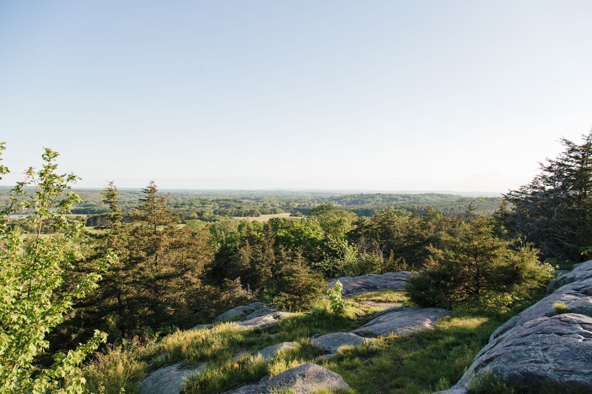
Observatory Hill
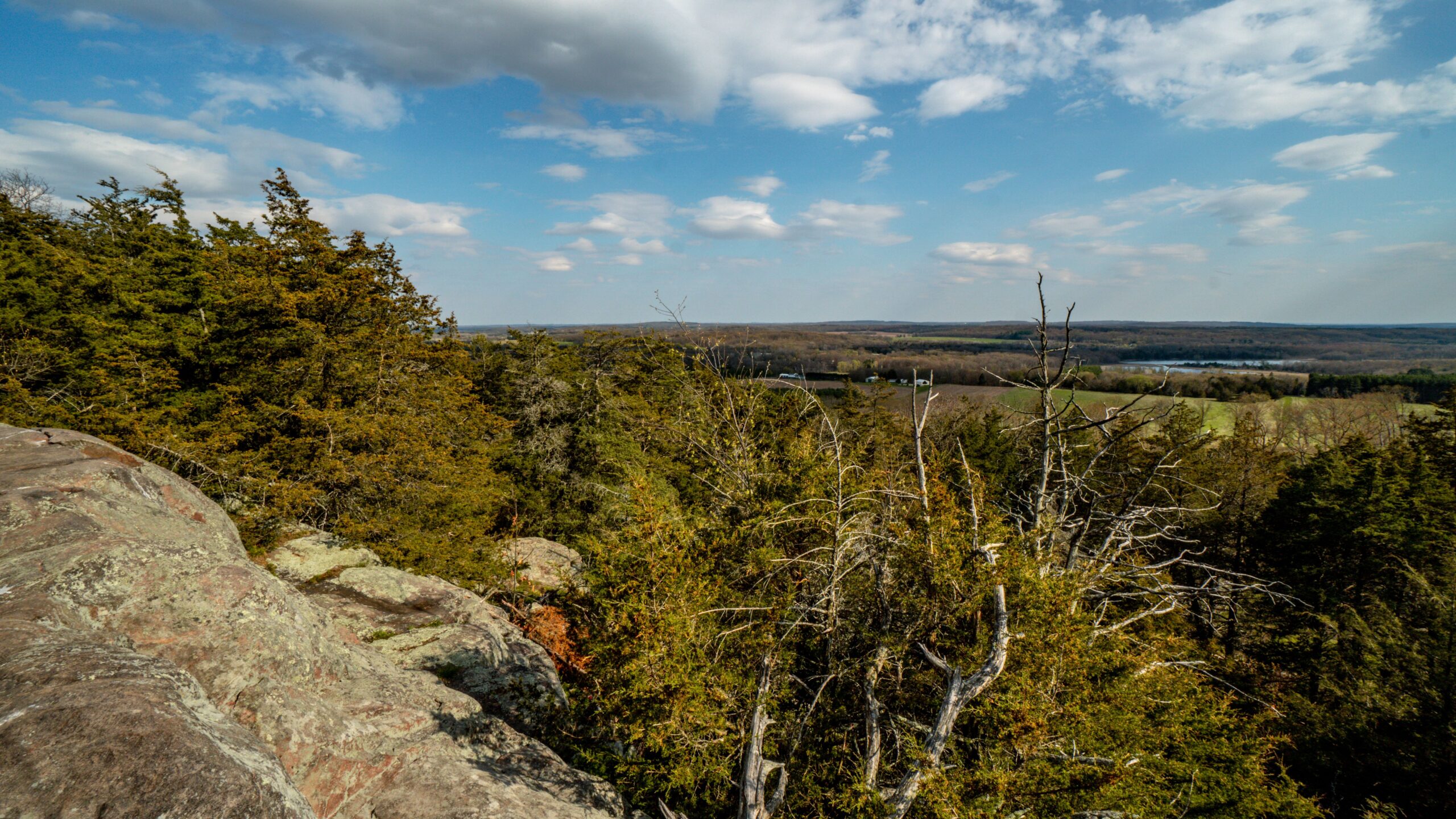
From Montello, take County Road F south about 5 miles; turn left on 14th Rd. Go a half mile to 13th Rd., turn right for 1.4 miles, then left on Gillette Avenue .6 miles to the parking lot.
This mile-long primitive trail will take you to the highest point in Marquette County for a spectacular panoramic view. The hill is an isolated outcropping of porphyritic rhyolite that rises 300 feet above the surrounding landscape. This volcanic rock has been dated to 1.76 billion years ago and contains grooves created by a glacier over 12,000 years ago. Click here for the history of Observatory Hill.